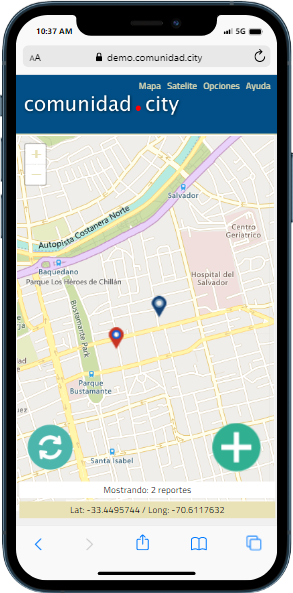
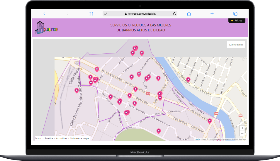
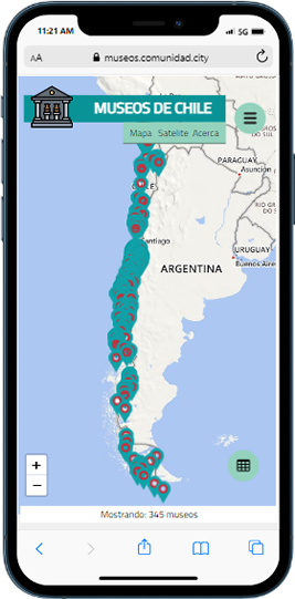
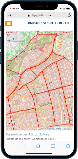
Effectively and creatively share the results of your studies and investigations through an interactive map. Our tools allow you to present your work in a visually engaging and accessible manner, increasing its reach and impact.
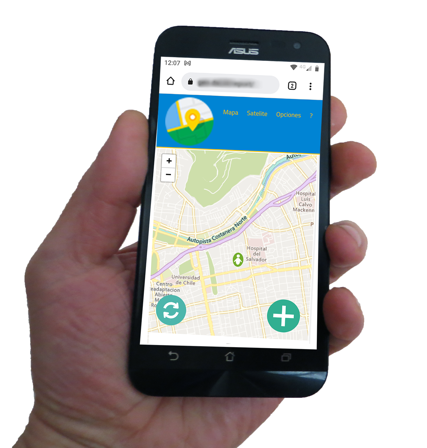
Promote active participation from the community by enabling them to report new cases or supplement existing ones through the use of their mobile phone. Our tools allow for community engagement in data collection, resulting in increased accuracy and precision in the results.
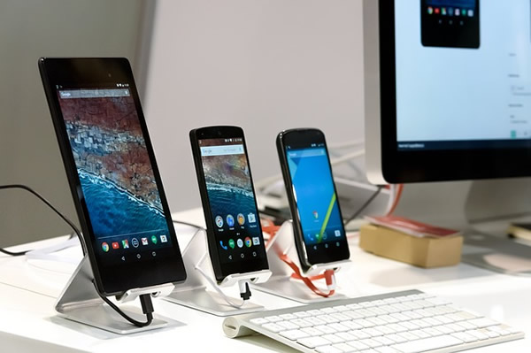
Universal accessibility: The community can access our app from any mobile device, be it a phone, tablet, or computer, regardless of brand or model.
The following examples are use cases that demonstrate how our interactive maps and georeferenced information service can be applied to solve specific challenges in different industries and sectors. These use cases provide a glimpse of the possibilities and benefits that our service can offer.

Consulting firms, non-profit organizations, government entities, and any other public or private entity that seeks to implement an initiative involving the collection of georeferenced data in a specific territory. We provide the possibility of involving citizens and their local representatives in the process to achieve greater efficiency and effectiveness in data collection.
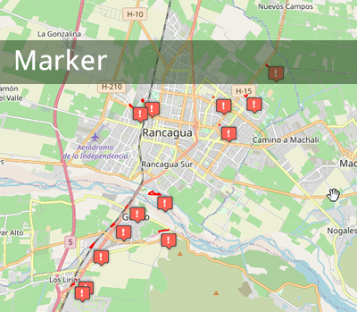
The client specifies the type of data that will be collected, the geographical places where the experience will take place are identified and it is established by whom the data will be collected. We will conduct training for those who will participate in the process. We implemented the data collection tool and the monitoring platform that allows us to know how the data collection is developing in real time. At the end of the process, we deliver the data and the computer platform for information sharing.
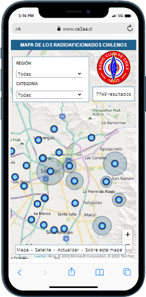
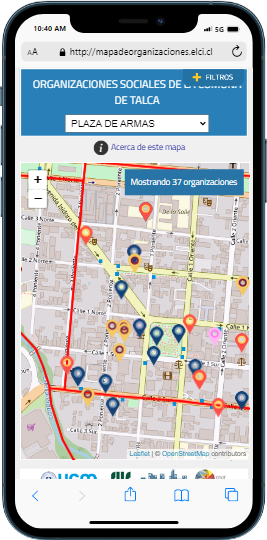
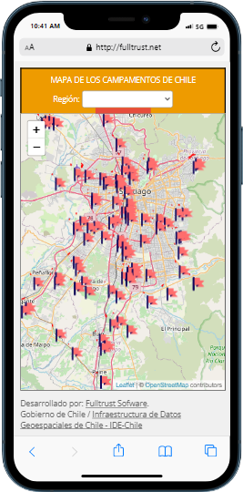
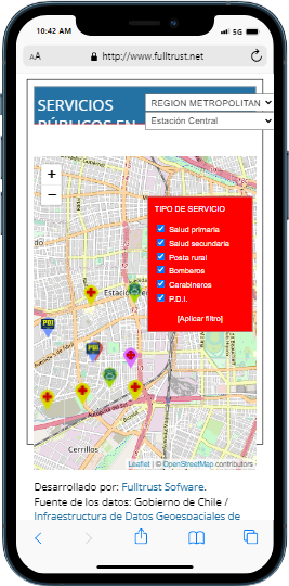
There are three types of maps, depending on the type of information to be displayed:


Geocode a list of addresses (convert address to latitude and longitude)
Reverse Geocode a list of coordinates (convert latitude and longitude to addresses)