Maximize the reach of your work
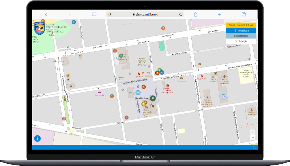
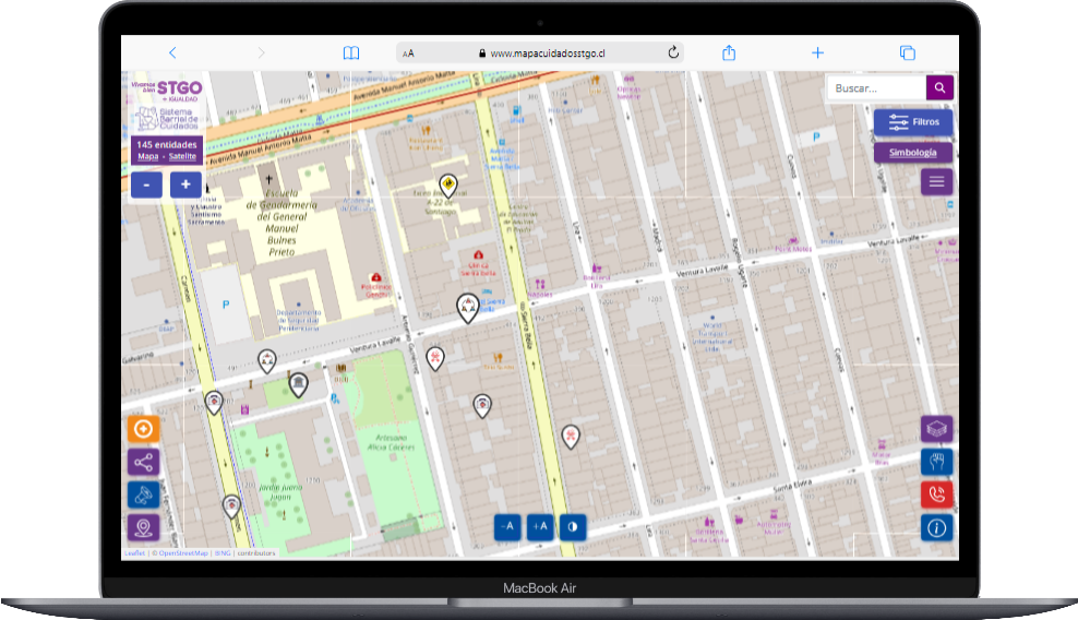
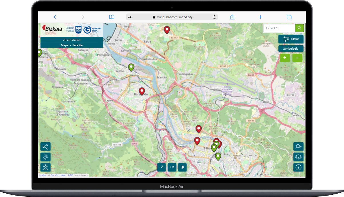
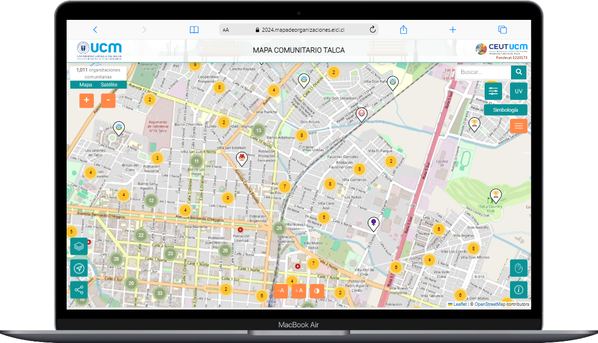
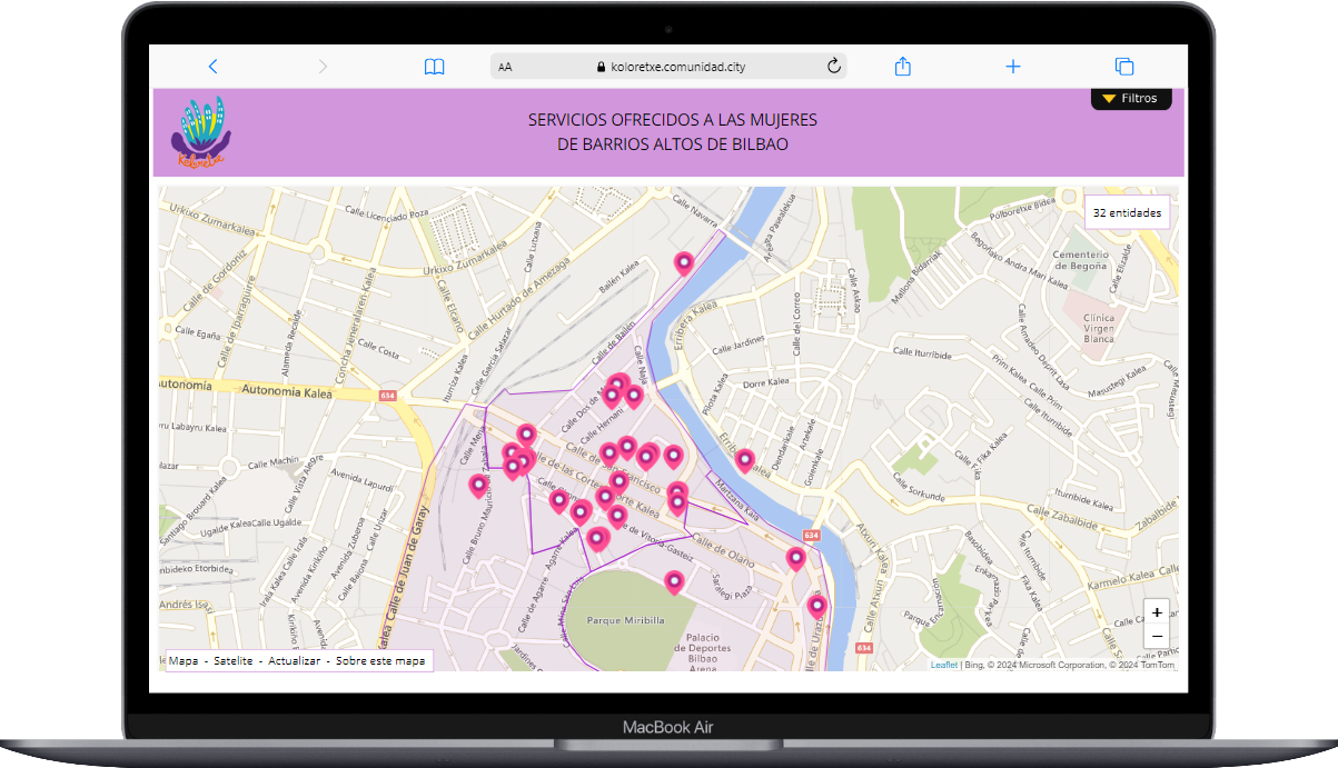
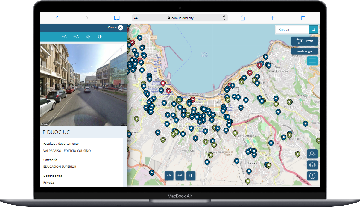
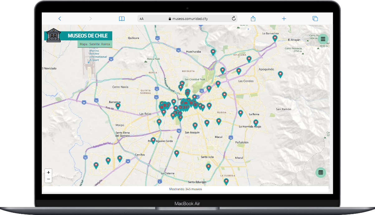
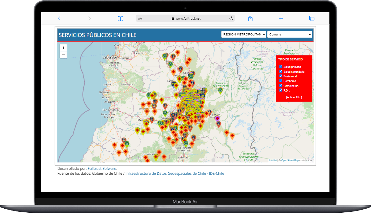
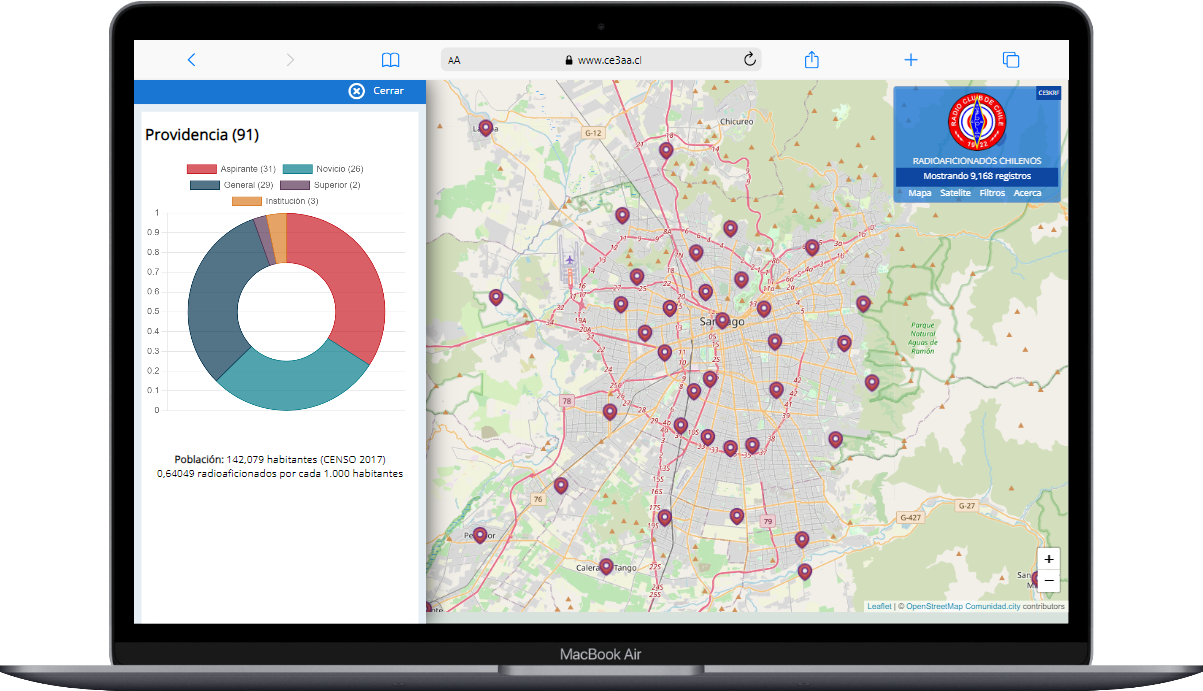
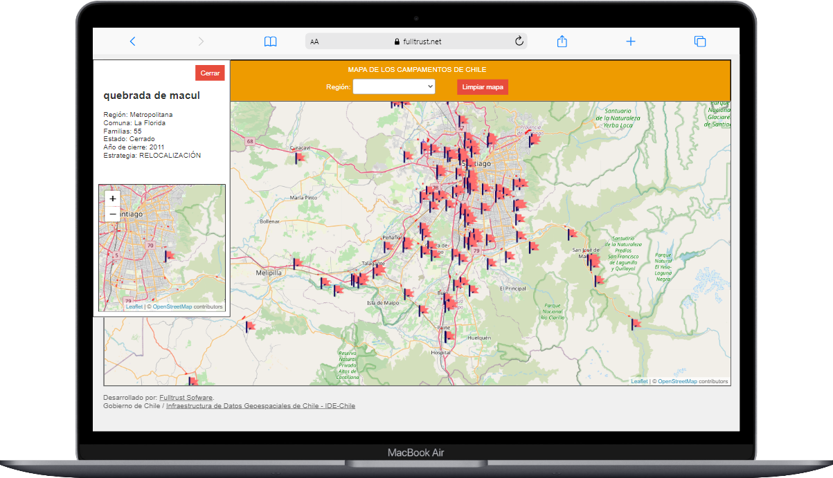
Disseminate the results of your studies and research creatively and efficiently with an interactive map. Our tools allow you to present your work in a visual and accessible way, expanding its reach and impact.
Promote citizen collaboration
Encourage active community participation by enabling the reporting of new cases or adding information to existing ones. Our tools allow you to involve the community in the data collection process, achieving greater accuracy in the results.
Access from any mobile device
Universal accessibility: The community can access our application from any mobile device, whether it's a phone, tablet, or computer, regardless of the brand or model.


